
Made an imaginary medieval map for fun.
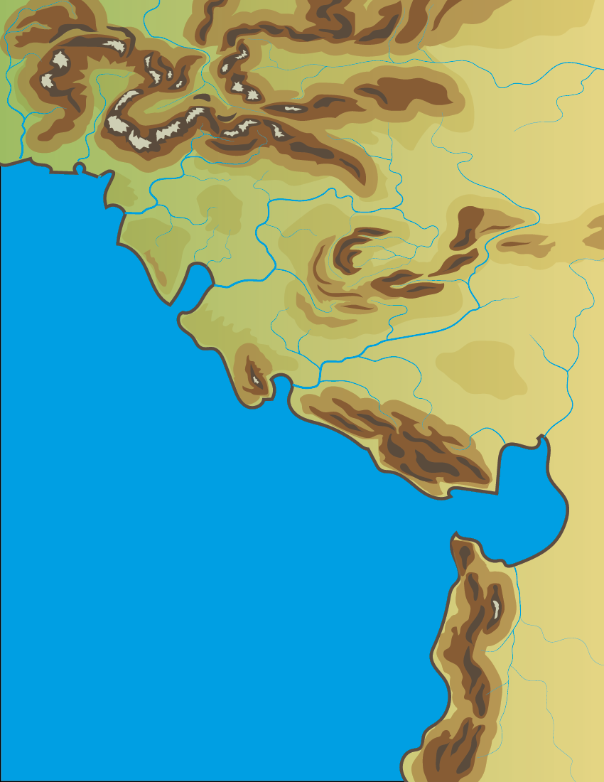
Started by building the topography and river systems together. Wind system moves from north west to south east. Higher humidity and rain to the north and it gets drier farther east and south. Mountains and rivers to influence population centers and trade routes.
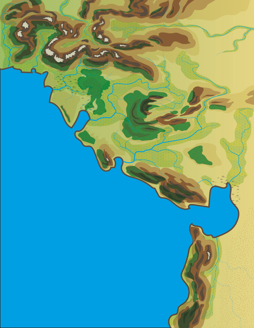
After building the topography and rivers, added the flora zones with forests, cultivatable lands, marshes and scrublands.
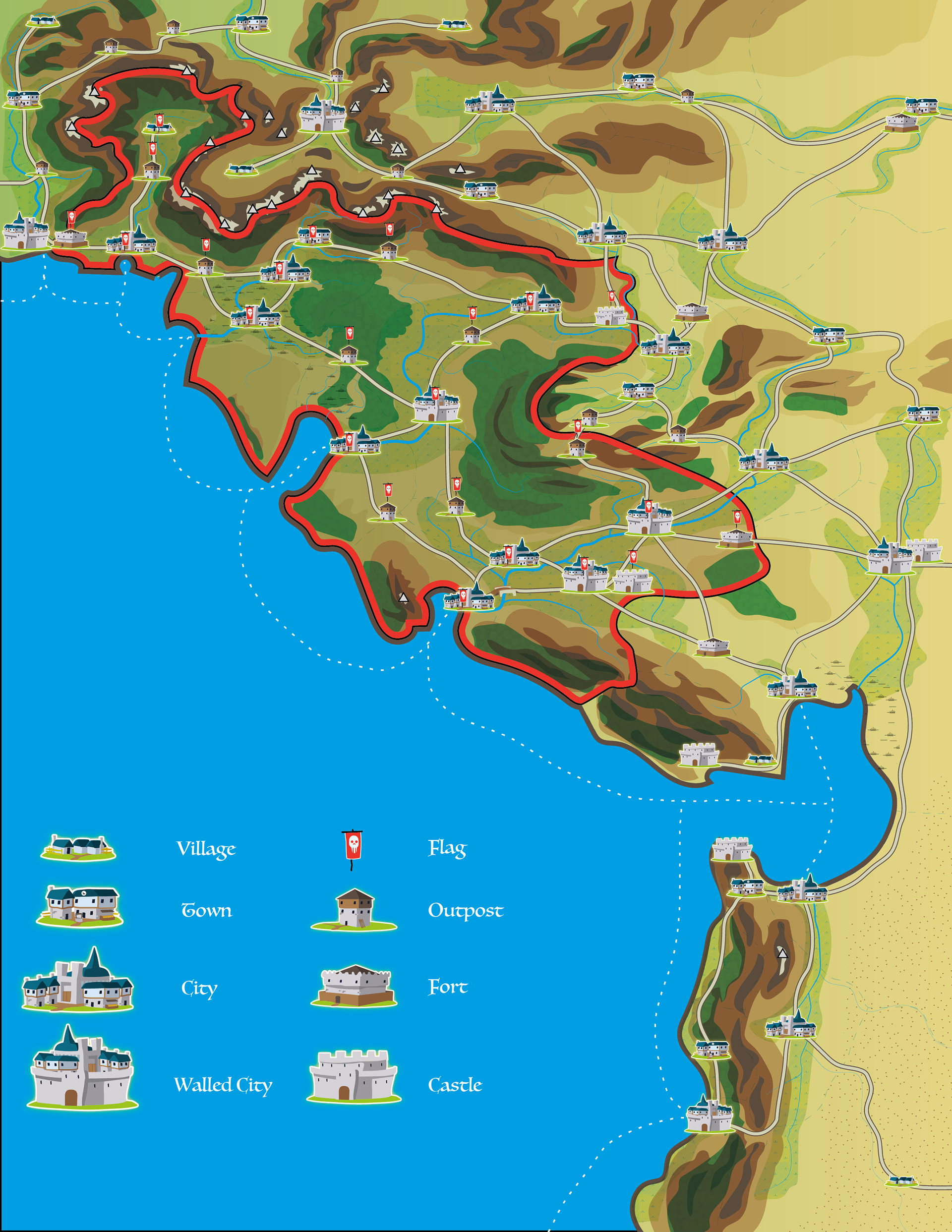
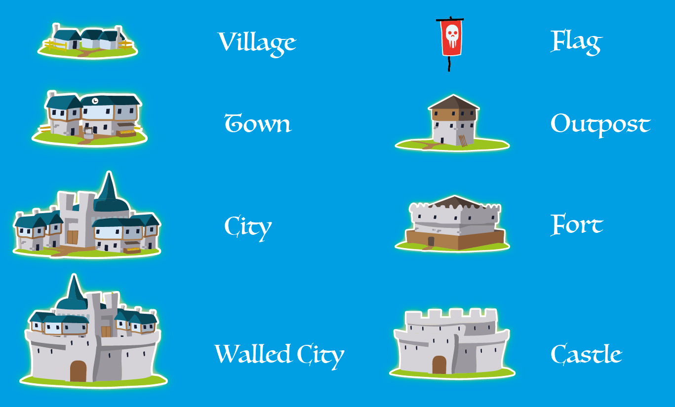
Started with adding villages where it seemed to make sense as population points, mostly along rivers, in fertile plains, or easily defensible areas with mountains and high elevation. Created designated areas of control with the dotted lines, added roads and ocean trade routes. Then elevated the levels of population centers based on number of connects going in and out and personal aesthetics. Added Military buildings at strategic areas and along roads. Added the Red Skull nation.
Thanks for stopping by.